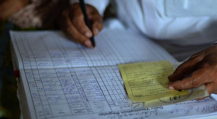
This project entailed designing and implementing a comprehensive geospatial health facility profiling in district Kasur, Punjab, Pakistan to assess and map over 1000 health facilities with collection of detailed data related to equipment, human resource and services, building structure and recording of GPS coordinates. The data was used to develop an IT application, enabling the program planners to map areas with critical deficits, ambulance and referral routes etc. This was followed by a financial analysis and cost evaluation of the exercise to devise TORs for a broader evaluation across province.
Project details
Client name:
Government of Punjab and Turkish Institute of Public Health
Location:
Kasur Punjab, Pakistan
Technical Lead:
Dr Shabnum Sarfraz
Year:
2017
Status:
Completed
Service:
Research
Sector:
Health
« It is not utopian thinking to say that every man, woman and child should have access to health care as a right »

Bernie Sander
Politician, US Senator- Government
- Service Delivery Organizations
- Others
- Primary and Secondary Healthcare Department
- Directorate General of Health Services
- Punjab Information Technology Board
- Punjab Healthcare Commission
- Population Welfare Department
- Emergency 1122
- DHQ THQs, BHUs and RHCs, District Kasur
- DCO Office, Kasur
- Turkish Institute of Public Health


